Lizz - on LOTE - in Split! A blog!
22 Jul by Gaffney, Vince
Life on the Edge – LOTE July 2025 By Lizz Zieschang, PhD Candidate
There are few places in the world comparable to Split, Croatia – crystal clear waters, warm days with light breezes, mild humidity, a welcoming population, and an incredibly rich history. Not many researchers can boast of such an environment in which to conduct fieldwork, yet there we were: investigating not only one of the oldest sites in the region, but one submerged beneath more than 10 meters of the Adriatic Sea. In collaboration with local archaeologists, researchers, and diving experts, we (Dr. Simon Fitch, Dr. Jessica Cook-Hale, and myself) successfully conducted a program of underwater remote sensing and diver surveys over a period of six days on the submerged prehistoric landscape.
Day 1 consisted of gathering remote sensing data for the purpose of confirming the location of the planned diver survey and identifying any additional areas for testing. Utilizing a local vessel and experienced captain, we deployed an Innomar Sub-Bottom Profiler (SBP) to investigate the sediment structure buried beneath the seafloor. The vessel was navigated along pre-plotted lines to cover the survey area. An underwater Remote Operated Vehicle (ROV) was also used to visually inspect the seafloor for potential features. A new target was identified for investigation through this method.
Day 2 began diving operations, but more importantly, it began with extensive planning and discussion. As we were working with our Croatian partners, who were leading the diving, collaboration was integral to the safe and successful execution of diving operations. The 50-minute boat ride to the site was spent outlining plans, ensuring understanding, and modifying plans to encompass helpful suggestions. To establish our site grid, we dropped four buoys at specific locations to create a square, running a line between them. Divers were then deployed to adjust the grid and drive rebar stakes into the seafloor to act as datums. The divers were split into split into dive groups of three to conduct systematic hand fanning. My team used a measuring tape to hand-fan (a technique of using hand movements to gently remove recent sediment and expose the intact soils) to search for evidence of prehistoric occupation. None were found during the survey by my team, but another team had much more success in the northeastern portion of the grid. Day 3 continued with diving operations, focusing the hand-fanning survey in the northeastern portion of the site grid and revealing great potential for an intact prehistoric site.
Day 4 and 5 involved dredging operations, which consisted of using a dual-headed induction dredge affectionately named by the local divers as “The Mammoth.” While I have used induction dredges in the past, these large 3 m long aluminum dredge heads were much heavier and made me appreciate the name even more! The dredge was attached to a pump on the deck of the boat, sucking up the sediment within a 2m x 2m grid square and flushing the sediment through a mesh bag that caught the larger material. The squares were excavated by stratigraphic units and were followed by removing the dredge ‘spoil’ bag and lifting it to the surface for sorting. Two units were excavated in this manner over the two days. The dredge spoil was sorted on the dive platform off the stern (back) of the vessel. Artifacts were bagged and labelled with provenience information.
Day 6 was the final day of diving and was used for sediment coring and site cleanup. While the weather started to look suspicious, it stayed away and allowed us to complete our work. Sediment coring was great fun- a team of three divers were deployed with a 2m long aluminum tube and cap, a slide hammer, plastic baggies, tape, and a sledgehammer named “Krenhoff”. While two divers held the aluminum pipe as vertically as possible, one diver used the slide hammer, and then Krenhoff, to drive the tube into the sediment. Once driven deep enough, the tube was capped and slowly removed from the seafloor. As this happened, one diver was at the ready with the plastic baggy and the other ready with the tape. Once the bottom was removed, the divers quickly put the baggy on the bottom and taped it securely. The filled tubes were then brought to the surface, being always held vertically. Two cores were taken in this fashion, and the rest of the day was spent recovering all equipment.
After a brief yet intense storm, Day 7 was spent on land, splitting the sediment cores at the University of Split. The cut cores were opened under red light and half the core bagged and labeled to allow for future OSL (Optically Stimulated Luminescence). The other half was viewed in white light for sediment stratigraphy interpretion. The sediment cores will be subjected to several more tests, including palaeoenvironmental analysis.
All in all, the week was extremely fruitful. We successfully relocated the site, acquired underwater remote sensing data, recovered artifacts, and extracted sediment core samples. Conducting underwater archaeology can be hazardous and frustrating at times, but communication between leadership, patience, and attention to detail on this project ensured its success. The site has proven to have the potential for increasing our understanding of landscape use by the Ice Age cultures in this region and how inundation processes affect these sites. Fieldwork is projected to continue in summer 2026.
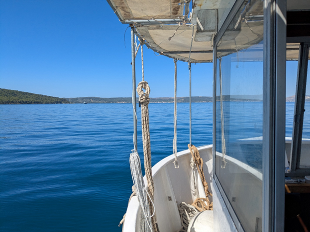
Photo 1. View from the research vessel, heading towards the site.
Photo 2. Lizz holding the underwater ROV.
Photo 3. Dr. Jessica Cook-Hale (left) and Dr. Simon Fitch (right) sorting dredge spoil on the dive platform.
Photo 4. Split sediment core- lower half exposed to red light only, top half exposed to white light.

Comments --